© Stefan Sobotta, UNESCO-Welterbe Bergwerk Rammelsberg, Altstadt von Goslar und Oberharzer Wasserwirtschaft

World Heritage Insight Walk: Hydropower Then and Now (hike)

Short facts

  • start: Parking at the former Catholic Church
  • destination: Oderteich car park
  • medium
  • 9,45 km
  • 2 hours 40 minutes
  • 726 m
  • 602 m

best season

Hike from the Grube Samson Mining Museum along the Rehberger Graben to the Oderteich pond.

Tip: Activate the audio guide mode in the app. At many points you will learn exciting details about the Upper Harz water management system around Sankt Andreasberg.

This hike from the Grube Samson Mining Museum in Sankt Andreasberg to the Oderteich pond is around 10 km long. It passes through the Upper Harz Water Management System, which is part of the UNESCO World Heritage in the Harz.

The water transport ditches and ponds were necessary to provide energy in the mines. The ore extracted underground had to be hoisted to the surface. Rainwater that seeped into the mine had to be pumped out of the galleries. The energy was provided by giant water wheels. They needed a lot of water all year round. The water was collected in the storage ponds and flowed to the water wheels through the ditches.

On this hike you will find out how people around Sankt Andreasberg used the water for mining. And how the water is still used to produce electricity.

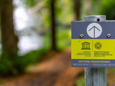
On the way you will find various signboards with information about the Upper Harz Water Management System.
Tour waypoints

World Heritage Insight Walk | Hydropower: Introduction (Hilfe Gottes Teich pond | Hike)

World Heritage Insight Walk | Hydropower: Using energy

World Heritage Insight Walk | Hydropower: Conducting energy

The surge tank

The first bifurcation

The Jordanshöhe

The Gesehr Wasserlauf water tunnel

The ditch covers

The water level gauge system

Sonnenberger Graben ditch

World Heritage Insight Walk | Hydropower: Introduction Rehberger Graben ditch

The quarries

The material storage location

Rehberger Grabenhaus

The renewable energy

The "Alte Rehberger Graben" ditch

On the steep slope

Stream and spring capture

A muck sump

The lining of the ditch with stones

Collecting the Hühnerbrühe stream

Oderteich

Tour-Dashboard

Pavings

  • Asphalt Coating (20%)
  • Path (4%)
  • Crushed Rock (71%)
  • Street (1%)
  • Hiking Trail (4%)

Weather

General information

Next steps
Download GPX Tour-Portal

More like this

It appears that you are using Microsoft Internet Explorer as your web browser to access our site.

For practical and security reasons, we recommend that you use a current web browser such as Firefox, Chrome, Safari, Opera, or Edge. Internet Explorer does not always display the complete content of our website and does not offer all the necessary functions.