© UNESCO-Welterbe Bergwerk Rammelsberg, Altstadt von Goslar und Oberharzer Wasserwirtschaft

WatersideWalk Sperberhaier Damm

Short facts

  • start: Sperberhaier Damm car park at thr B 242 Clausthal - Braunlage
  • destination: Polsterberger Hubhaus
  • easy
  • 5,48 km
  • 1 hour 25 minutes
  • 586 m
  • 563 m

best season

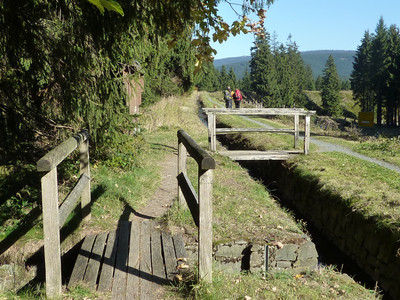
Hike over the Sperberhaier Damm aqueduct, one of the core parts of the Upper Harz water Management System. Restaurants invite you to take a break both at the start and at the end.

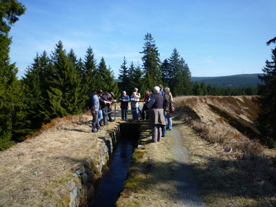
The Sperberhaier Damm aqueduct is the mightiest structure of the Upper Harz Water Management System and the core of the dam ditch system named after it. The 940 m long and 16 m high aqueduct directs the water over a depression at the sparrow shark to the Clausthal plateau. With all the foothills that reach up to the Brockenfeld, the Dammgraben system has a length of almost 50 km. From its "cradle" below Torfhaus to the Oberen Hausherzberger Teich pond near Clausthal-Zellerfeld, the 20 km long ditch only loses 60 m in height.

Tour waypoints

Sperberhaier Dammhaus

Car park Sperberhaier Dammhaus

Sperberhaier Damm aqueduct

Polsterberger Hubhaus

Tour-Dashboard

Pavings

  • Hiking Trail (20%)
  • Path (80%)

Weather

General information

Next steps
Download GPX Tour-Portal

More like this

It appears that you are using Microsoft Internet Explorer as your web browser to access our site.

For practical and security reasons, we recommend that you use a current web browser such as Firefox, Chrome, Safari, Opera, or Edge. Internet Explorer does not always display the complete content of our website and does not offer all the necessary functions.