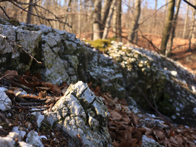
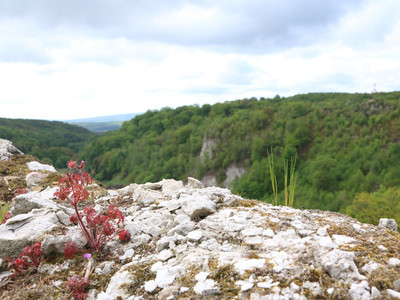
On the way in the Südharz Biosphere Reserve.
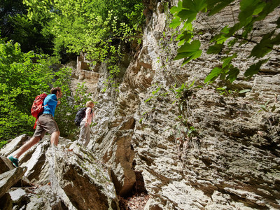
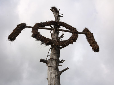
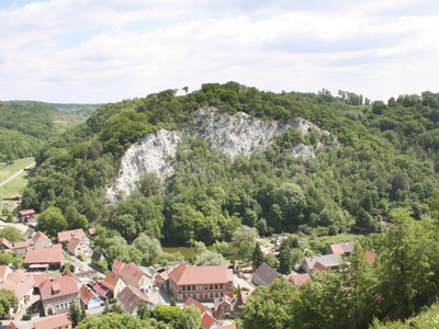
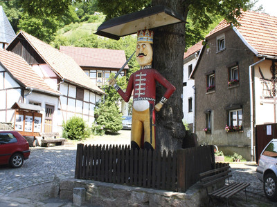
This route, which can also be walked in two sections from the village, leads through an extremely eventful section of the gypsum karst landscape. Walking clockwise, the path initially goes through the valley of the Nasse to the south to the Forellenhof near Wickerode. It then arcs northwest along forest edges and as a ridge path with beautiful panoramic views to the Kyffhäuser. In the forest there is an abundance of dolines, sinkholes, uvalas, i.e., karst valleys, as well as karst springs and losing streams. After 5 km, the path meets the Karstwanderweg at its highest point and now leads east to the Queste with its centuries-old tradition of the Questen Festival on Whit Monday. After a total of 6.3 km, you return to the historic village center with the wooden Roland. Here, a refreshment at the inn "Zur Queste" is recommended before continuing with the second part of the route.
Initially, a side path leads to the ruins of Questenburg. Then it goes east on a country road to the impressive Dinsterbachschwinde (km 8.3). Here, the Dinsterbach coming from the northeast disappears beneath a mighty rock face made of often breaking gypsum rocks. The further path crosses the Dinsterbach with an interesting geological outcrop of the local rocks. South into the Borntal and westwards, the path continues along forest edges and leads with a final climb through the forest onto the wildly karstified height of the Hoher Kopf. As Krumme Trift, it now goes down to the parking lot in Questenberg. At the inn "Zur Queste," brochures are available that describe the castle with its legend, the Questen Festival, the sinkholes, and the karst landscape with its vegetation in detail.
