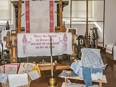
With a total distance of 45 km, this circular route with magnificent scenery is longer than the classic marathon distance. Besides many kilometers, hikers can also expect some elevation gain and a bit of culture along the way.
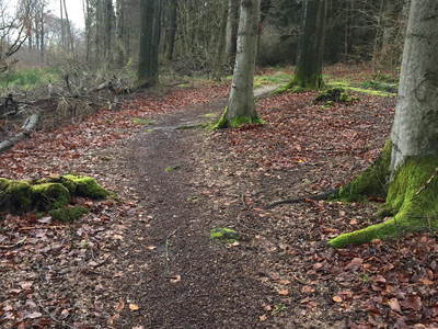
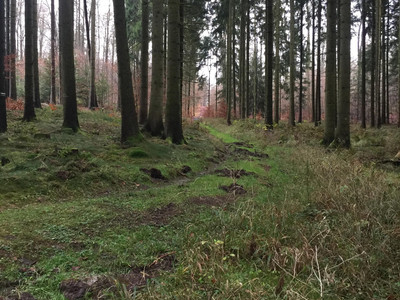
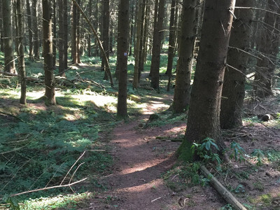
The starting point of the route is the municipal administration at Lamspringe Monastery. The first 21 km are simultaneously the Lamspringe-Brunshausen Monastery Hiking Trail. Right after the start, it gets intense, over Clausberg to Heberkamm. After about 1.5 km and 100 m elevation gain, we reach the first single trail section of this route, which is 5 km long. It is part of the "Monastery Hiking Trail," which leads to Brunshausen Monastery. Up to km 15, the route continues along Heberkamm on forest and gravel paths before a section of about 3.5 km leads towards Wolperode on asphalt. From Wolperode, the path briefly climbs again to the so-called "Gandersheimer Schanze," before descending steeply towards Brunshausen Monastery.
From Brunshausen Monastery, we head to Clusberg and follow the European hiking trail E11 about 10 km westward on Helleberg. Along this stretch, on varying trail conditions, we ascend about 200 m elevation towards Schildhorst, on the Jakobsweg-Via Skandinavia. The next 3.5 km section passes through Winzenburg past the Fischerhütte.
From here, it continues 4 km through hilly terrain to the castle ruins of Winzenburg, along the Rennstieg (old courier route Hildesheim-Winzenburg) to the Hohe Schanze, where excavations of an old refuge castle from the 10th century can still be seen.
The last 6 km in the southern Sackwald take you on varying paths back to Lamspringe Monastery.
