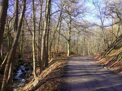
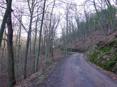
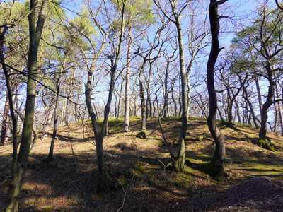
Circular hike around Bad Suderode (stamp location no. 187)
From the tourist information, follow hiking trail 50 N (European long-distance path E 11, blue dot) to Stecklenberg (Tempelstraße, Lauenburger Straße, Emthöfer Breite, Elfenwiese).
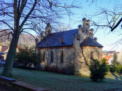
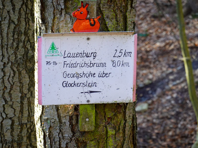
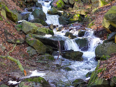
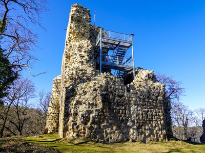
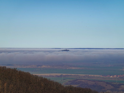
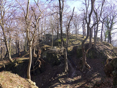
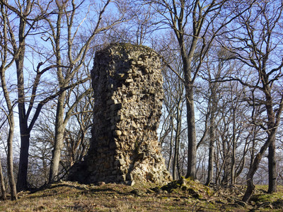
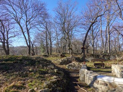
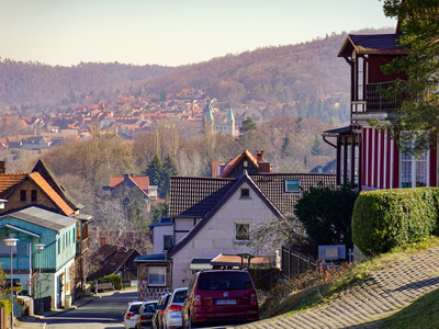
Be cautious at the entrance to Stecklenberg. The hiking trail ends at a road without a sidewalk. Here you turn left and follow the road downhill for about 100 m. Behind the junction of the path to the calcium spring, a few steps lead to the hiking trail towards the spa park. The path runs above and initially parallel to the road. In the spa park is a very nice model of the Lauenburg. Behind the church turn left (Stecklenberg Wurm Valley) and initially follow the signage towards Georgshöhe / Hexentanzplatz / Friedrichsbrunn (green triangle). Before the Wurmtal cascades, the path forks. From here the Lauenburg is signposted (blue dot, E11). From the ruin of the outer castle (accessible) you have a wonderful view of the Harz foreland. At the foot of the outer castle is the stamp box (no. 187) of the Harz hiking badge. A detour to the main castle is definitely recommended.
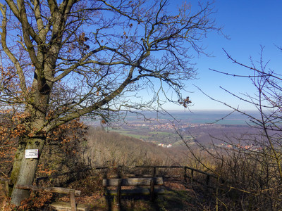
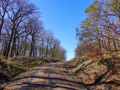
From there, you go back to the junction to the Lauenburg / main path and follow the signage of path 51 A (Hiking trail of German emperors and kings, symbol: golden crown) towards Wolfsbergblick. From Wolfsbergblick you have a beautiful view of Quedlinburg and over the Harz foreland. From the viewpoint, return to the path and turn left. Unfortunately, there is no signage up to the Alten Steiger (Roter Steiger)! Therefore, always follow the main path and only turn left at the large intersection onto Alten Steiger (red square, green dot). Follow this to Bad Suderode.
