Mining educational trail, art pond and circular hiking route to the Kalmusgrund
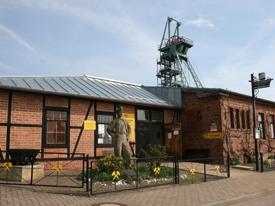
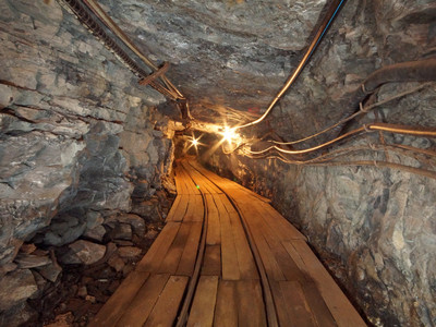
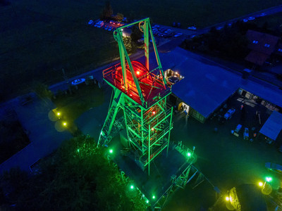
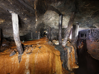
The mining educational trail allows hikers to explore the old mining landscape around Sangerhausen. The circular route connects directly to the open area of the Röhrig Shaft near Wettelrode. The trail provides insight into the development of copper mining in the Sangerhausen region from the 13th to the 19th century. Of interest to hikers are the small shafts (pits) exposed by excavations above ground. Views into the approximately 40 cm high stopes give an impression of the harsh working conditions of the miners back then. A variety of information boards complement the presentation of old mining.
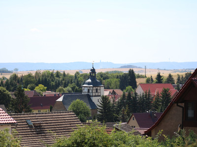
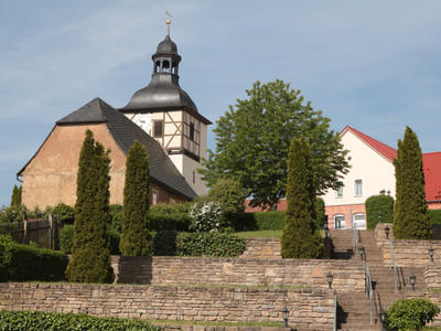
Wettelrode has around 500 inhabitants and a 500-year-old lime tree. The village was first mentioned in the 9th century. Characteristic are numerous small farms with a residential house, barn, and stable. In addition to their work in the shaft, the miners also operated small-scale agriculture for self-sufficiency. In the boom periods of mining, many craftsmen, blacksmiths, saddlers, carpenters, shoemakers, and others lived here. During times of recession, the mining villages suffered great hardship. From here, the path leads towards Grillenberg across meadows, pastures, and fields, then turns west into the Kalmusgrund. At the western end of the circular route, the route leads over the dam of the art pond with information about historic mining on copper shale, then south to further old facilities, especially the Alexander Shaft, and then back towards the show mine, also passing the Caroline. The hike reveals the beauty of the South Harz landscape in a typical section.

