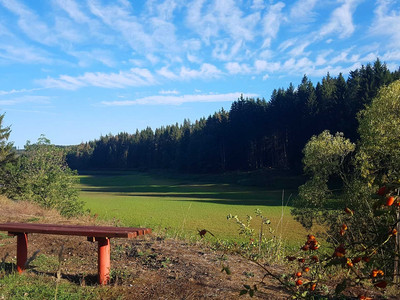
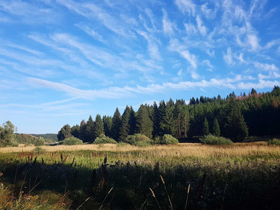
© © Jan Reichel, Tourismusbetrieb der Stadt Oberharz am Brocken

Family-friendly circular route around the Königshütte reservoir (HWN 41 & 42)

Short facts

  • start: Southern exit of the village Königshütte (Landstraße 98 towards Tanne),
  • destination: Ends at starting point
  • easy
  • 7,24 km
  • 2 hours
  • 465 m
  • 418 m
  • Loop tour

best season

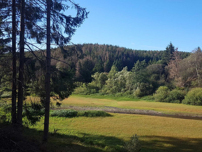
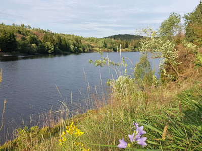
The hike around the Trogfurther Brücke is an easy and scenic route suitable for the whole family. You walk directly by the water around the transfer dam.

Whether on foot, with a stroller, balance bike or bicycle, this route can be easily managed. Also ideal for your four-legged friend.
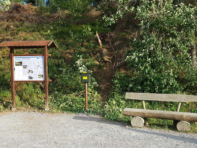
Along the trail you will find plenty of seating areas for picnics or relaxing. Directly at the dam is the Harzer Wandernadel stamp point. From here you have a magical view across the water to the Wurmberg and the Brocken.

The right path (outbound) is a wide and comfortable forest road and the left side (return) is paved. Did you know that just before the reservoir inlet the Warm and Cold Bode rivers converge?

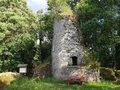
We recommend a small detour at the beginning of the hike to the Königsburg ruins - another Harzer Wandernadel stamp point.

From here you have a fantastic panoramic view over Königshütte, the Harz National Park with the Brocken.

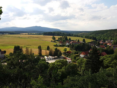
Tour waypoints

41 Ruine Königsburg

42 Trogfurther Brücke

Pension Restaurant Am Felsen

Tour-Dashboard

Pavings

  • Street (6%)
  • Crushed Rock (76%)
  • Path (4%)
  • Hiking Trail (5%)
  • Asphalt Coating (9%)

Weather

General information

Next steps
Download GPX Tour-Portal

More like this

It appears that you are using Microsoft Internet Explorer as your web browser to access our site.

For practical and security reasons, we recommend that you use a current web browser such as Firefox, Chrome, Safari, Opera, or Edge. Internet Explorer does not always display the complete content of our website and does not offer all the necessary functions.