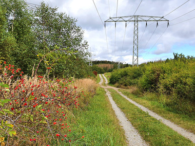
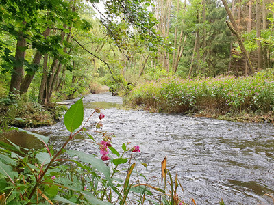
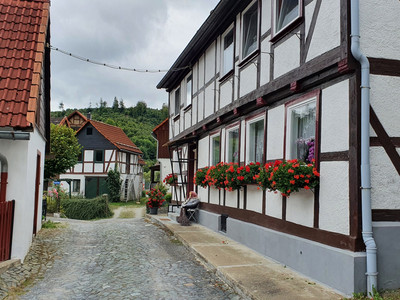
An approx. 13 km long and entertaining circular hiking trail with many highlights and varied sections of the trail.
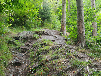
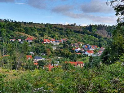
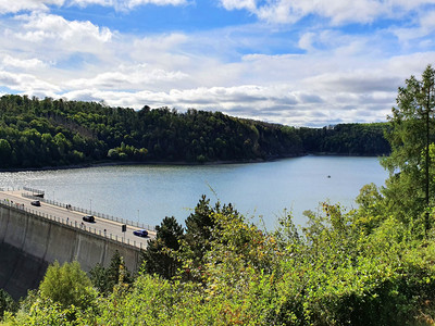
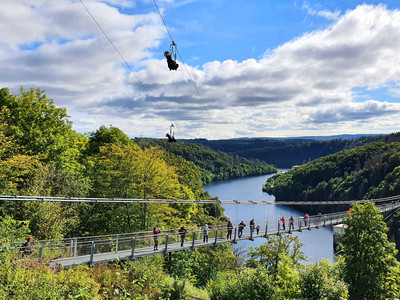
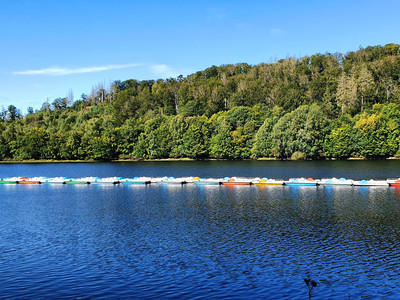
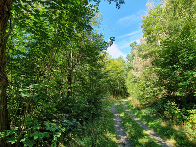
The circular hiking trail starts in the small Harz village of Neuwerk and leads via the HET path (blue triangle) to the Rappbode dam with the RT suspension bridge. At this tourist hub, hikers have many opportunities to explore the area. Whether on foot on classic paths or over the 452 m long, wobbly suspension bridge or even with a lot of adrenaline on the rope with the zipline into the valley or in free fall from the suspension bridge. One thing is clear; There is definitely something for EVERYONE. Don't forget to capture the breathtaking view of or from Germany's highest dam wall - the Rappbode dam. After this highlight, we continue to the Wendefurther dam, which joins the Rappbode dam. Another destination is waiting here for you - the Wendefurth boat rental (summer months). There is a choice of pedal boats or rowing boats. If you decide on a boat tour, it doesn't go as planned, relaxed across the water, no! - you can watch the brave Megazipliners or Gigaswingers from the water. After your boat tour, you should definitely stop off at the fish restaurant or eat a fish sandwich at the stand. After refreshment, continue over the Wendefurth dam to the Harzer-Hexen-Stieg, but in the opposite direction. One of the most beautiful and varied sections of the long-distance hiking trail takes you back to Neuwerk.
The tour can also be hiked in sections and a return trip by bus is possible from the Rappbode dam in the direction of Rübeland / Neuwerk.
