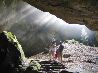
From the starting point (S) head north, after about 150 m sharply turn right up to the Steinkirche. Continue onto the Steinberg past the Turnvater Jahn monument and down a narrow path into the Bremketal. Cross the Bremke between the campsite and the outdoor pool and immediately turn left. After the playground on the left, take the path up to the right to the Rottstein cliffs and continue to the Einhornhöhle (1). From there, follow the path downwards, after a narrow bridge turn right onto the forest track and after about 80 m turn left uphill to the Scharzfels ruin (2). Leave the castle courtyard heading northeast on a natural path until the junction of two wide forest tracks, then take the natural path downhill to the right. When you reach the Andreasbachtal, turn left and after about 80 m turn right uphill to the Knollenkreuz (3). There, turn left and after about 60 m right onto the narrow path towards Großer Knollen until you reach the Schnabelweg (wide forest track). Turn left downhill to Schweineplatz (4), then continue right down into the Bremketal, after the bridge over the Bremke turn sharply right and then keep left. At the top of the large meadow by the forest edge continue and after about 350 m turn left back into the woods to the Steinkirche.


